
Baghdad’s principal modern Jewish cemetery, preserving the memory of generations of the city’s Jewish community.
What the atlas knows—and what it does not.
Locations marked approximate or city-level are intentionally shown with reduced precision. The source record remains accessible so interpretation never replaces evidence.
See this place in the visual archive.
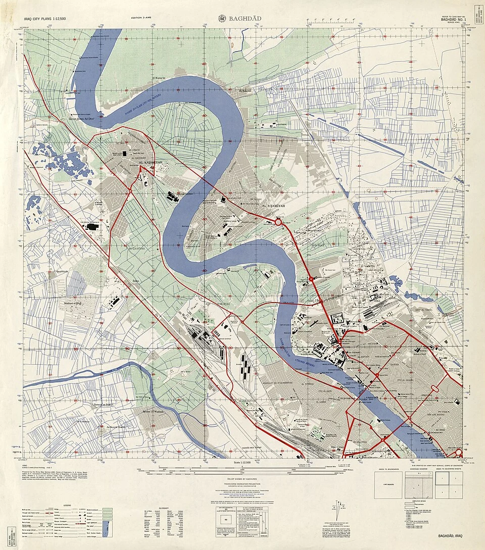
Baghdad city map, 1958
A detailed U.S. Army city sheet that can be overlaid on the modern atlas to compare central Baghdad’s street geography.
Open archive →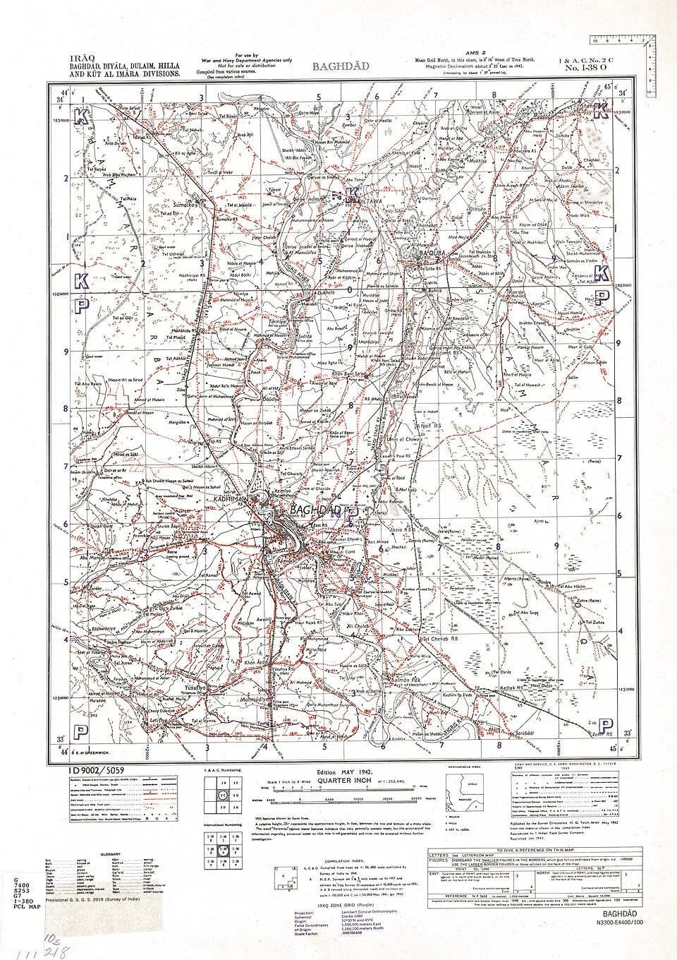
Baghdad region map, 1942 edition
A regional military map that situates Baghdad within the wider river, road and settlement landscape of the early 1940s.
Open archive →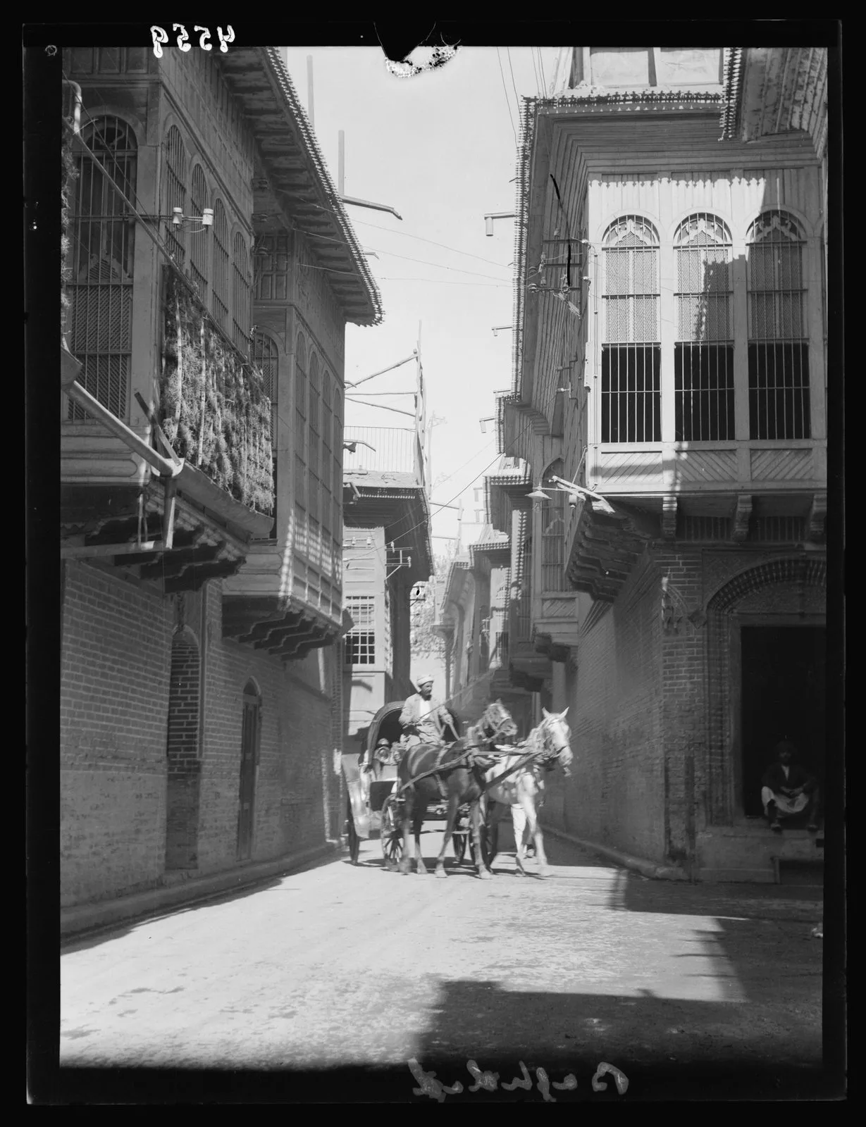
Baghdad street and overhanging balconies, 1932
Visual context: a Baghdad street with traditional overhanging balconies, photographed in 1932. This is not a photograph of the exact heritage site.
Open archive →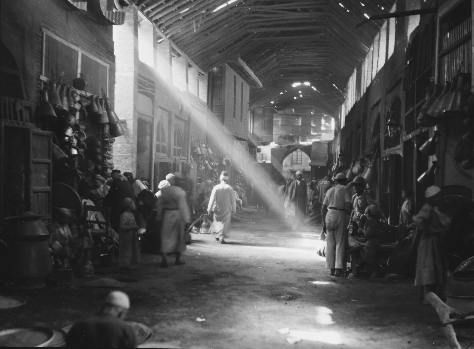
Market life in Iraq, 1932
Visual context: an Iraqi market photographed by the Matson collection in 1932, evoking the commercial world of interwar Baghdad. It is not the exact heritage site.
Open archive →